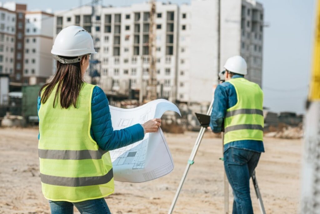
In large-scale construction projects, accurately analyzing the terrain is one of the first and most important steps before any building or infrastructure work begins. Traditional methods of surveying land are often slow, expensive, and prone to errors. This is where reality capture software comes into play, providing a faster and more precise way to collect and process terrain data. This article explains how reality capture speeds up and improves terrain analysis in large-scale construction projects.
Why Terrain Analysis Matters in Construction
Terrain analysis is the process of studying the physical features of land to understand its elevation, slope, and overall structure. In construction, this information helps determine site feasibility, plan drainage systems, and design foundations that can withstand environmental factors.
For instance, a construction company planning to build a highway through a hilly region needs to understand the exact contours of the land. If the terrain is not analyzed correctly, costly excavation errors could occur, leading to delays, safety risks, and budget overruns.
In the past, surveyors had to rely on ground-based measurements, which required significant time and effort. They would use tools like theodolites and measuring tapes, taking days or even weeks to gather enough data for a single site. Today, reality capture software speeds up this process by automatically collecting high-resolution 3D models of the terrain, reducing the time spent on-site while increasing accuracy.
How Reality Capture Works
Reality capture software combines advanced imaging techniques to create a detailed and accurate representation of land surfaces. Some of the most commonly used methods include:
- LiDAR (Light Detection and Ranging): A laser-based technology that scans the surface of the land and generates a precise 3D map.
- Photogrammetry: A method that stitches together multiple overlapping images taken by drones or cameras to form a high-resolution 3D model.
- Aerial and Satellite Imaging: Capturing large-scale images from above to give an overview of the entire site.
Once the data is collected, the software processes it into a digital terrain modeling platform, allowing engineers and planners to analyze the terrain without physically visiting the site multiple times.
Benefits of Using Reality Capture in Construction
- Speed and Efficiency
Traditional surveying methods could take weeks, while reality capture can scan and generate a detailed model within hours. This accelerated process means construction projects can begin sooner, reducing delays caused by long surveying times.
- Improved Accuracy
Human measurement errors can lead to significant problems in construction, such as miscalculations in excavation depths or foundation levels. The high-resolution data from reality capture tools eliminates such errors, ensuring precise planning and execution.
- Cost Savings
By automating data collection and reducing the need for manual surveying, construction companies save on labor costs and equipment expenses. Additionally, accurate terrain data minimizes unexpected issues during construction, preventing costly rework.
- Better Decision-Making
When engineers and project managers have access to a digital terrain modeling platform, they can analyze different scenarios, simulate construction processes, and predict challenges before they happen. This proactive approach leads to better resource allocation and risk management.
- Enhanced Safety
Surveying certain types of terrain, such as steep slopes, rocky landscapes, or flood-prone areas, can be dangerous for workers. With reality capture, data can be collected remotely using drones and other scanning tools, reducing the risk of accidents.
Real-World Applications in Large-Scale Construction
Many large infrastructure projects today rely on reality capture tools to streamline terrain analysis. Here are a few examples of how it’s being used:
- Highway and Bridge Construction: Engineers use reality capture to map out elevation changes, identify potential landslide areas, and plan optimal road alignments.
- Urban Development: City planners create detailed 3D models of land before starting major development projects, ensuring new structures fit well within the existing landscape.
- Mining and Excavation: Mining companies analyze terrain data to plan excavation sites efficiently, reducing environmental impact while maximizing resource extraction.
- Flood Risk Assessment: Coastal and riverbank construction projects use a digital terrain modeling platform to predict flood risks and design drainage systems accordingly.
Conclusion
The ability to quickly and accurately analyze terrain transforms how construction projects are planned and executed. By replacing slow and error-prone manual methods with reality-capture tools, construction teams can make smarter decisions, reduce costs, and complete projects more efficiently.
As more companies embrace this technology, it will continue to shape the future of large-scale construction, making it safer, more precise, and more sustainable. Be it a towering skyscraper, a vast highway, or a massive industrial facility, understanding the land beneath is the foundation of every successful build. And with the power of digital terrain modeling platforms, that foundation is stronger than ever.