Introduction
In the ever-changing construction industry, being ahead of the curve in terms of technology and efficiency is critical. Aerial drone mapping has emerged as one of the most innovative technologies for construction projects, offering considerable improvements in accuracy, speed, and cost-effectiveness.
This new technology is changing the way construction businesses approach surveying, site analysis, and project management.
What is Aerial Drone Mapping?
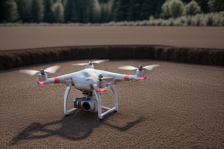
Aerial drone mapping is the use of unmanned aerial vehicles (UAVs) outfitted with high-resolution cameras, LiDAR sensors, and GPS technology to acquire comprehensive photos and data from above. These drones fly above the construction site, collecting real-time imagery and measurements that are then processed into comprehensive maps and 3D models.
This information can be utilized to generate accurate topographic maps, monitor project progress, and evaluate site conditions.
Advantages of Aerial Drone Mapping in Construction
- Increased accuracy and precision
One of the most significant benefits of aerial drone mapping is the degree of accuracy it provides. Traditional surveying methods, which frequently rely on ground-based measurements, are time-consuming and susceptible to human error. Drones allow you to collect a large amount of data in a shorter period of time and with more precision. Drone-generated high-resolution photos and 3D models enable extensive site assessments, ensuring that building plans are based on the most accurate data available.
For example, drone mapping can provide centimeter-level accuracy, which is critical for building complex structures or planning infrastructure projects. This guarantees that measurements are accurate, reducing the possibility of costly errors during the construction process.
- Faster data collection and analysis
Traditional surveying requires people to manually measure and record data, which can take days or even weeks, depending on the size of the site. Data acquisition by aerial drone mapping is quick and efficient. Drones can cover enormous regions in a short period of time, collecting data from difficult-to-access or dangerous sites without endangering personnel. Once collected, data can be processed and evaluated in hours rather than days, giving project managers quick insights.
This speed enables construction businesses to make more timely choices, keeping projects on track and within budget.
- Improved site monitoring and progress tracking
Throughout the lifecycle of a construction project, it is critical to track progress and ensure that everything is going as planned. Aerial drone mapping gives construction managers a comprehensive picture of the site, allowing them to monitor the progress of various phases of the project.
Companies can compare the present state of the site to the original designs by taking aerial photographs at regular intervals, looking for inconsistencies and spotting potential concerns before they become major problems. This real-time monitoring helps project management while also increasing accountability and openness with clients.
- Cost-effectiveness
Construction projects sometimes exceed budget due to unexpected delays or faults during the planning stage. Aerial drone mapping helps limit this risk by giving more accurate data up front, lowering the possibility of costly mistakes later on. Furthermore, drones require fewer human resources, which reduces the labor expenses connected with surveying and data collection.
Drones allow construction companies to obtain greater results without breaking the bank. The capacity to swiftly acquire and analyze data lowers downtime, allowing work to continue uninterrupted.
- Improve collaboration and communication
Aerial drone mapping enables more effective collaboration among stakeholders. Drone-generated 3D models and maps are easily shared with architects, engineers, contractors, and clients, ensuring that everyone involved has a clear and current picture of the project’s progress. This enhances communication, keeps everyone on the same page, and makes it easier to address difficulties quickly.
Stakeholders can access the same data and make decisions based on the same set of facts, resulting in more efficient workflows and fewer misunderstandings.
- Improved safety for construction sites
Safety is always the number one priority on construction sites. Aerial drone mapping eliminates the need for workers to enter dangerous regions or work at vast heights because drones can collect data from above without endangering human life. Drones can also be used to inspect difficult-to-reach regions like roofs, scaffolding, and tall structures, offering a safer and more efficient alternative to traditional inspection methods.
By using drones for routine inspections and surveys, construction businesses can reduce the risk of accidents and improve site safety for all personnel.
Use Cases for Aerial Drone Mapping in building
- Site Surveys: Conducting a thorough site survey before to beginning a building project is crucial. Aerial drone mapping accelerates and improves this process by recording a wide range of data points to produce accurate topographic maps.
- Progress Monitoring: Drones help track progress by capturing photographs at various stages of development, ensuring that the project remains on schedule and within budget. This can also be used to provide updates to clients and stakeholders.
- Volume Calculations: Drone mapping can accurately compute the volume of commodities such as earth or stockpiles. This aids inventory management by ensuring that the appropriate number of materials are ordered and supplied.
- 3D Modeling and Visualization: Drones can create 3D models of construction sites, allowing for virtual design, planning, and review. This allows architects and engineers to visualize the end result before building begins.
Conclusion
Aerial drone mapping is a major changer in the building business. Drones are changing the way construction projects are planned and carried out by increasing accuracy, speeding up data collection, and improving safety. Whether for site surveys, progress tracking, or real-time monitoring, aerial drone mapping provides construction organizations with vital tools for increasing productivity, lowering costs, and ensuring project success.
As technology advances, the uses of aerial drone mapping will expand, providing even more opportunities for construction enterprises seeking to remain ahead in an increasingly competitive industry. Investing in this revolutionary technology today can result in faster, more accurate, and efficient construction processes tomorrow.


